Interactive Map Gallery
Available maps:
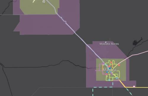
- Madera County Regional Transit System Map: This map showcases the regional transit network in Madera County. For more information about the transit providers, please visit the Public Transportation Routes and Schedules page or click on the map to be directed to the transit service provider website.
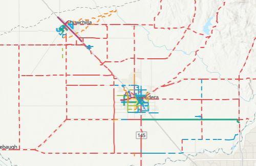
- Active Transportation Plan Map: The Active Transportation Plan Map shows the existing infrastructure in the Madera County Region, the proposed projects, and the priority projects as presented in the 2018 Active Transportation Plan.
- FTIP Interactive Project Mapping Tool: Use the tool to explore projects in the Federal Transportation Improvement Program.
Acronyms
NOTE: The maps and data are made available to the public solely for informational purposes. Information provided via the MaderaCTC website is accurate to the best of our knowledge and is subject to change on a regular basis, without notice. While MCTC makes every effort to provide useful and accurate information, we do not warrant the information to be authoritative, complete, factual, or timely. Information is provided on an "as-is" and as "as-available" basis. The Madera County Transportation Commission is not liable to any party for any cost or damages, including any direct, indirect, special, incidental, or consequential damages arising out of, or in connection with, the access or use of, or the inability to access or use, the Site or any of the Materials or Services described herein. New data will continue to be added to the Madera County Transportation Commission website as it becomes available. Please contact the city or county directly for information on their respective projects and costs.